
New Miistakis report maps ecological connectivity to guide land‑use planning
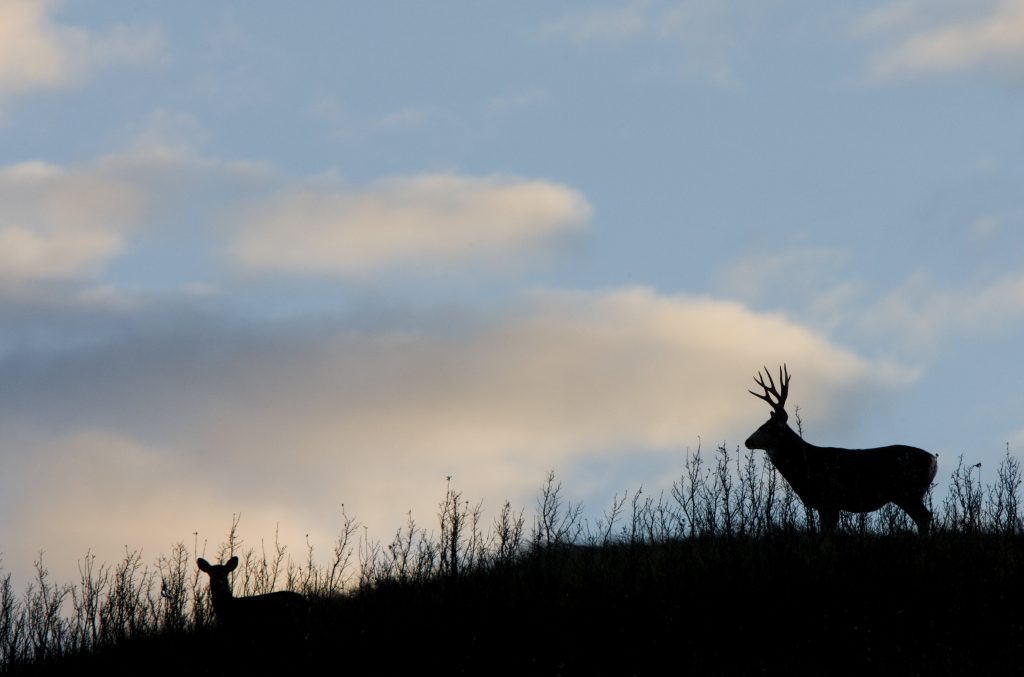
A new technical report from the Miistakis Institute is helping shape the future of land‑use planning in the Municipal District of Pincher Creek. The study maps an ecological network across the region, identifying the key places where wildlife move, feed, rest, and cross roads—information that is increasingly important as communities plan for growth, safety, and climate resilience.
Using structural connectivity modelling validated by local wildlife movement data, the report highlights:
- major wildlife movement corridors,
- core habitat areas, and
- road segments with elevated wildlife–vehicle collision risks.
Developed in collaboration with municipal planners, land managers, and conservation experts, the project gives the M.D. a practical tool for integrating ecological connectivity into everyday decisions—from development applications to transportation planning. By understanding where movement routes already exist, the region can better maintain the resilience of both ecosystems and communities long into the future.
This work is an important step toward a more connected landscape in southwestern Alberta. Building on the findings, we are now developing an Ecological Corridor Conservation Action Strategy for the M.D. of Pincher Creek. This next phase will translate the report’s insights into coordinated, on‑the‑ground conservation actions designed to maintain healthy movement routes for wildlife while supporting community needs.
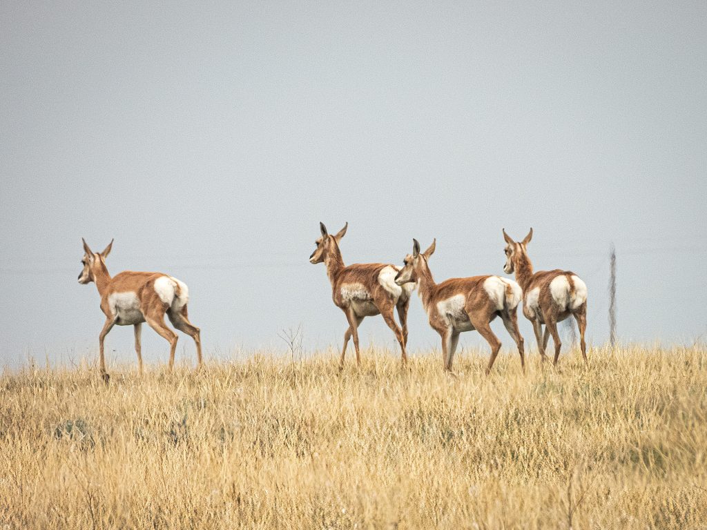
Photo: Pronghorn in Southern Alberta by Jason Alexander CC BY-NC
This initiative is supported by Parks Canada’s National Program for Ecological Corridors, the Calgary Foundation, the Wilburforce Foundation, the Woodcock Foundation, and the Alberta Real Estate Foundation.
Read the full technical report here.